
Selling
Building plot in Krakow - Bronowice
zł 998.000
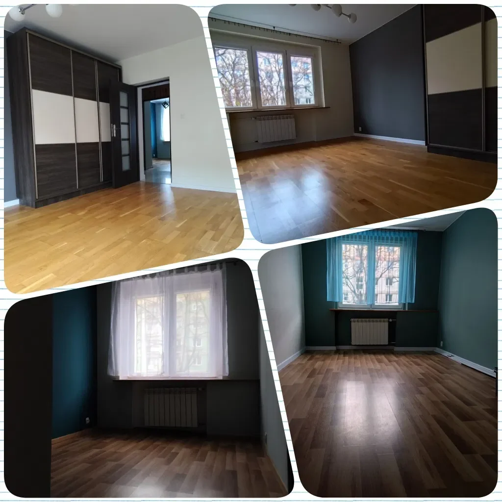
Description
Attractive building plot in Krakow - Bronowice Małe for single-family construction. Rectangular plot with an area of 1050 m2 and dimensions of approximately 23 x 44 m, located in the vicinity of single-family housing. The plot is undeveloped, without trees. Access to the plot via a planned public road classified as access road. Along the plot, a plot has been designated for the purpose of an internal road with a temporary right of passage. The plot ensures efficient exit from Krakow (2.5 km to the Krakow bypass), and is very well connected to the center of Krakow - 200 m to the public transport stop and only 8 km to the Old Town. The plot is described in the local zoning plan as MN.2.1 with the possibility of twin-house construction. Details of the offer: tel. 730 370 993. Details regarding the possibility of developing the property can be found at the address: RESOLUTION NO. LIX/813/12 of the City Council of Krakow dated October 24, 2012, regarding the adoption of the local spatial development plan for the area "BRONOWICE MAŁE - TETMAJERA" - published in the OFFICIAL JOURNAL OF THE MALOPOLSKIE VOIVODESHIP on November 6, 2012, item 5524. § 18. 1. Designates areas for single-family residential development marked with symbols: MN.2.1 intended for single-family construction in a free-standing or twin-house arrangement. 2. The location of free-standing service facilities for retail trade is permitted. 3. Within the designated areas regarding development principles, it is established: 1) the maximum share of the area invested in the facilities referred to in paragraph 2 may not exceed 5% of the investment area; 2) prohibition of locating single-family residential buildings in a terraced arrangement. Within the designated areas: MN.2.1 regarding parameters and indicators for shaping development and land use, it is established: 1) the indicator of biologically active area - min. 60%; 2) the building area indicator - max. 30%; 3) the height of residential and service buildings - max. 10 m; 4) the height of economic buildings and free-standing garages - max. 4.5 m. 5. Within the designated areas MN.2.3, MN.2.8 regarding parameters and indicators for shaping development and land use, it is established: 1) the indicator of biologically active area - min. 65%; 2) the building area indicator - max. 25%; 3) the height of residential and service buildings - max. 10 m; 4) the height of economic buildings and free-standing garages - max. 4.5 m. ADDITIONAL INFORMATION: Object name: land property; Electricity: available; Gas: none; Water: available; Access: paved road; Surroundings: developed plots; Sewage: municipal; Public transport: MPK; Distance to public transport [m]: 200; Distance from the center [m]: 4000; Distance to the store [m]: 700; Distance to school [m]: 2000; Distance to kindergarten [m]: 3000; Plot dimensions [m]: 23.2 x 44; Plot development: undeveloped; Plot shape: flat; Plot shape: rectangular; Plot fencing: none; Development conditions: local zoning plan; Plot development: none. LINK TO THE PAGE: CONTACT TO THE AGENT: Robert Tendera +48 730-370-993. OFFICE DATA: Branch BS5, Nowa Huta, Bracia Sadurscy Dariusz Sadurski, Os. Kazimierzowskie 36, 31-844 Krakow, 12 265 10 29.
Specifications:
Area: 1024.0 m²
Seller: Robert Tendera
Data source: https://www.otodom.pl/pl/oferta/dzialka-budowlana-w-krakowie-bronowice-ID4vNsx
Overview
Property ID:
da8d2b21-2557-4b90-913e-9a18bea73617
Type:
Apartment, House
Property Type:
Primary
Square:
1,024 m²
Price per m²:
975
Seller:
Robert Tendera
Location
Write A Review
0 Reviews
0 out of 5
Featured properties
The Most Recent Estate

Selling
Apartment
Malopolskie, Krakow, Lagiewniki-Borek Falecki
zł 619.000
Selling
Apartment
Dolnoslaskie, Sienna
zł 340.000
Selling
Apartment
Malopolskie, Myslenice, ul. Matejki
zł 1.070.000
Selling
Apartment
Zachodniopomorskie, Suchan
zł 250.000
Selling
Apartment
Lodzkie, Lodz, Baluty
zł 460.000
Selling
Apartment
Mazowieckie, Warszawa, Targowek
zł 329.000
Selling
Apartment
Lodzkie, Lodz, Baluty
zł 599.999
Selling
Apartment
Dolnoslaskie, Gryfow Slaski
zł 245.000
Selling
Malopolskie, Krakow, Bronowice, ul. Wlodzimierza Tetmajera
zł 998.000
- 0
- 0
- 1,024 m²